Functions That the Street Light Information Management System Should Have
The street lamp geographic information management system is a network version of the GIS system. It mainly uses GIS technology and database access technology to vividly display various street lighting facilities on the map. After the system is completed, the relevant personnel who manage the street lights can directly perform statistics, query and analysis on the street light facilities on the map interface through their respective clients. At the same time, in the form of data visualization, the system provides a new way of decision support for leaders’ decision-making, and provides a scientific basis and foundation.
Therefore, the completion of the system will enable street light managers to manage street lights more effectively. At the same time, it can also greatly improve the efficiency of street lamp management and make street lamp maintenance and management more timely and accurate, thereby saving a lot of manpower, material and financial resources. A complete street lamp geographic information management system should have the following basic functions.
1. Terrain library management
The topographic map has a large amount of data. In order to improve the efficiency of display and query, it should be stored separately. At the same time, the system must provide a library management function to realize the splicing of sub-frames and cross-frame query methods, so that the graphics stored in physical sub-frames become a logical whole.
In addition, the user’s topographic map data comes from the planning, surveying and mapping department or the urban construction archives, and it is likely to be the data format of other graphics systems. At this time, data conversion is necessary. In short, in addition to the functions of inputting and editing the spatial data and graphic attributes of the three primitives of point, line and area, the most important thing is to realize topographic map database construction, flexible management of the database, and convenient data conversion. .
2. Data input and editing
The system should provide a rich and powerful means of inputting street lamp facilities, construct network topological relationships, establish an attribute database related to street lamp facilities, and provide graphical attribute editing tools.
For graphic data input, the system needs a variety of means, such as digitizer input, scanning vectorization, direct transfer of fieldwork detection data results table, conversion of other data formats, manual input of mouse and keyboard, etc.
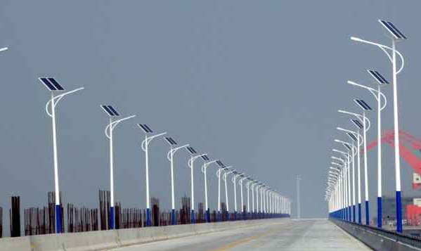
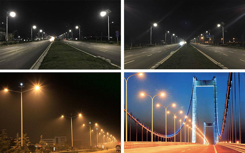
3. Street lighting equipment management
The system uses some effective methods to quickly conduct a comprehensive understanding and detailed analysis of the current street lamp information, and can quickly generate statistical results graphs, which can guide managers to efficiently and correctly manage and make decisions. In addition, you can easily get the data and information you want through various query tools, measurement tools, positioning tools, etc. At the same time, the street lamp circuit maintenance and management subsystem is also responsible for connecting to an external database to maintain the topological integrity and data consistency of the street lamp circuit.
Crop output:
Provide rectangular cropping, polygon cropping, circular cropping, and arbitrary polygon cropping. Icons can be automatically added and output according to a certain proportion.
Measurement:
Measure the distance between two or more points, the length of the polyline, and the perimeter and area of rectangles, circles, and arbitrary polygons.
Positioning tool:
Perform hierarchical positioning of the entire data range, and provide multiple methods of retrieval and positioning such as divisions and place names.
Statistical tools:
Perform various attribute statistical graphs for a certain area and a certain type of street lamp equipment, and print the results in the form of intuitive tables or statistical graphs (such as pie charts).
Query tool:
query according to the route. Query the location of the designated area. Specify the device type to query. Construct a search condition query. Fuzzy query. Custom query conditions.
Auxiliary data:
Provide convenient and flexible static labeling and dynamic labeling methods to label street light lines and equipment.
Equipment library management: Provide centralized management equipment, including equipment professional name, equipment type, equipment graphic symbols, allowing users to add, delete, and edit equipment.
Object library management: Provides multimedia management such as lamp type library management, light source library management, lamp basic library management, and lampshade library management. Provide rich multimedia management functions. Can provide intuitive reference materials for management and maintenance.
4. Operation management
Operation management mainly deals with the daily work during the operation of street lights, including repairs, maintenance of accounts, maintenance records, pole collisions, etc. to achieve paperless office. It is also possible to make statistics on the problems that occurred during this time period at the end of the month or the end of the year. It can also provide valuable reference for future procurement of materials, and provide historical data for future management.
5. Auxiliary analysis
The system has the function of assisting decision-making. It can complete the simulation of the fault range, find the power point, brightness, illuminance, and glare calculations on the existing street lamp operation line, and provide a scientific basis for the decision-maker to accurately formulate the plan.
6. WEB release
By establishing a WEB publishing system, users can directly access the homepage of the geographic information system through a web browser, browse graphics, and query equipment information by type, region, and conditions. Implement specific equipment search, view street lighting facilities and their information, and conduct online office work. In this way, you can browse and manage the system conveniently without installing any additional software on the browser side.
Future Development of Street Light Information Management System
With the development of computer technology and GIS technology and the deepening of application requirements, the street light information management system will also continue to develop. The following directions are receiving increasing attention:
Integration with the Internet
The Internet is increasingly becoming a part of people’s lives and work. The street lamp information system using Internet technology can effectively expand the distribution area of the work site and facilitate ordinary citizens’ inquiries and repairs.
Closer integration with daily office
The street lamp geographic information management system needs to more closely integrate all kinds of data in the office environment. And introduce the concept of workflow into street lamp management. So that all office links related to street lamps form a whole.
To develop towards a comprehensive integrated system
The street lamp geographic information management system will extensively integrate GIS technology, global positioning technology, multimedia technology, CAD technology, wireless monitoring and artificial intelligence technology, combined with water supply, drainage, gas, public transportation, roads and bridges and other geographic information systems to jointly build a comprehensive urban municipal public system. So as to carry out the management, comprehensive analysis and processing of urban public facilities.